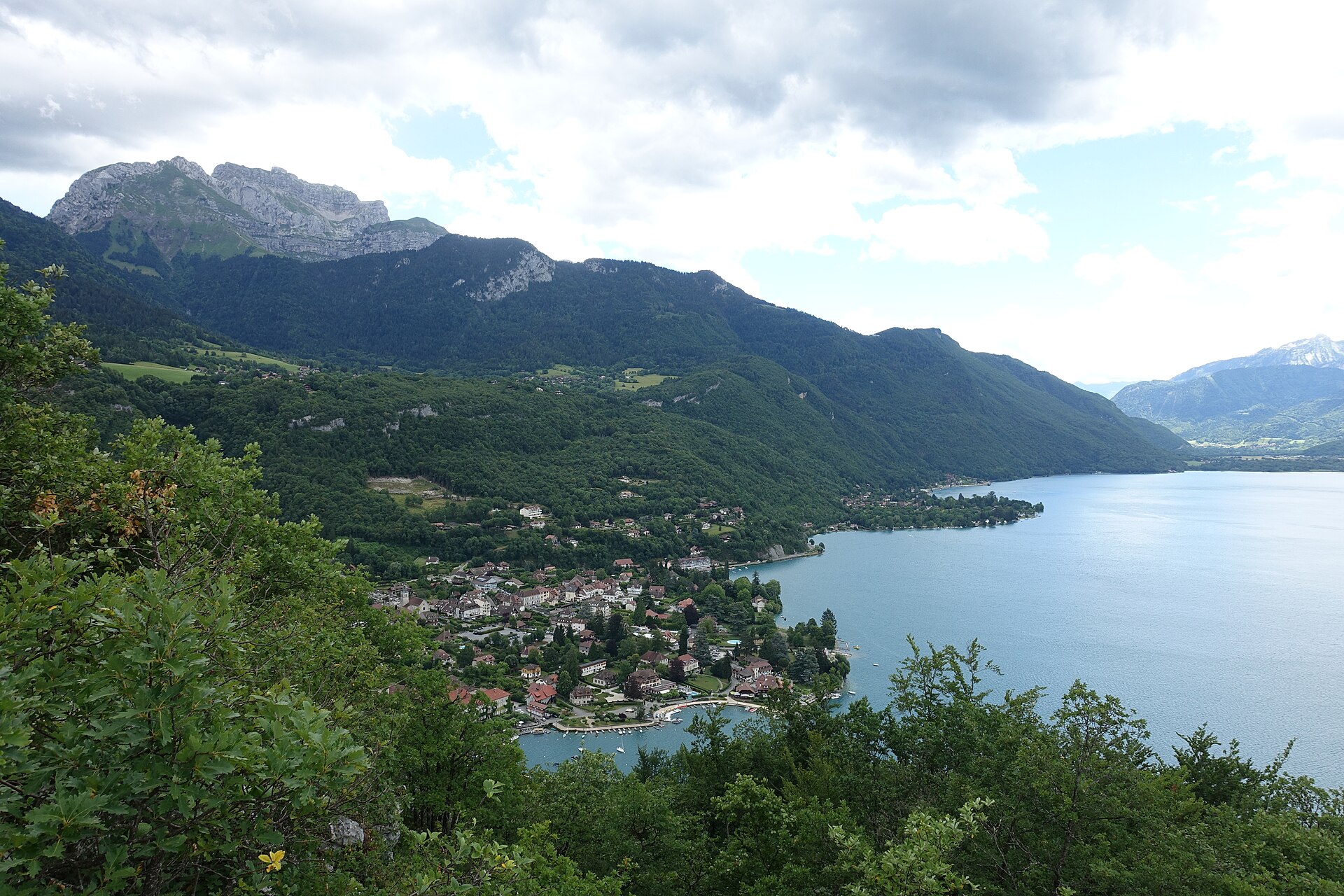
Photo: Guilhem Vellut, CC BY 2.0, Wikimedia Commons
Roc de Chère reserve loop, Talloires
4.5 km · +120 m · 1h18 · Beginner
- Distance
- 4.5 km
- Elevation gain
- +120 m
- Duration
- 1h18
- Difficulty
- Beginner
- Terrain
- Shaded reserve paths, roots, one short climb to the cliff terrace
- Best season
- Year-round; slippery after rain
- Water / food
- None in the reserve; cafés in Talloires
- Parking / access
- Reserve parking on the road above Talloires
- Starting point
- Roc de Chère reserve trailhead, Talloires-Montmin
- Last checked
- Oct 6
Check local conditions and closures before you go.
GPX with the trailhead and summit waypoints for your watch.