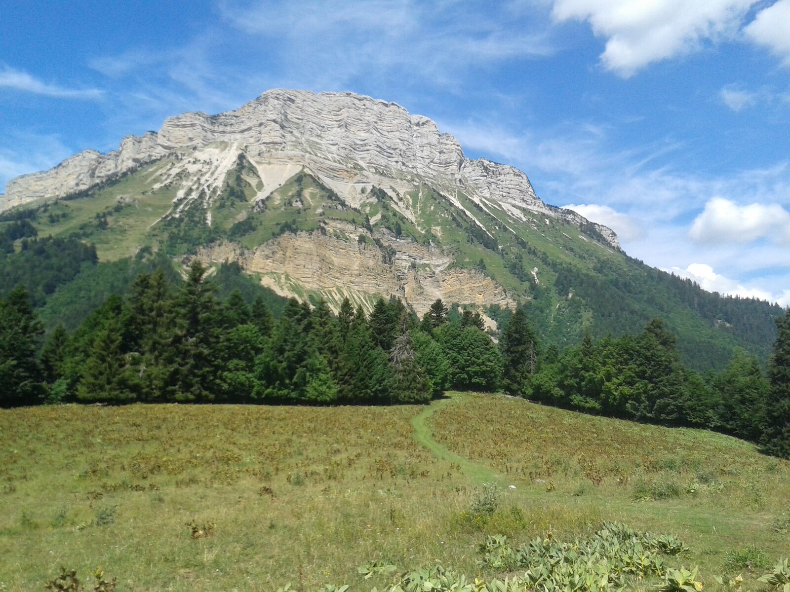
Photo: Skimel, CC BY-SA 4.0, Wikimedia Commons
Chamechaude from the Emeindras
8 km · +1000 m · 4h30 · Advanced
- Distance
- 8.0 km
- Elevation gain
- +1000 m
- Duration
- 4h30
- Difficulty
- Advanced
- Terrain
- Steep forest, then open lapiaz and a short hands-on ridge
- Best season
- June to October; snow the rest of the year
- Water / food
- None on the route; fill up in Saint-Pierre-de-Chartreuse
- Parking / access
- Small free lot at the Emeindras hamlet
- Starting point
- Trailhead at the Emeindras, Saint-Pierre-de-Chartreuse
- Last checked
- Oct 6
Check local conditions and closures before you go.
GPX with the trailhead and summit waypoints for your watch.