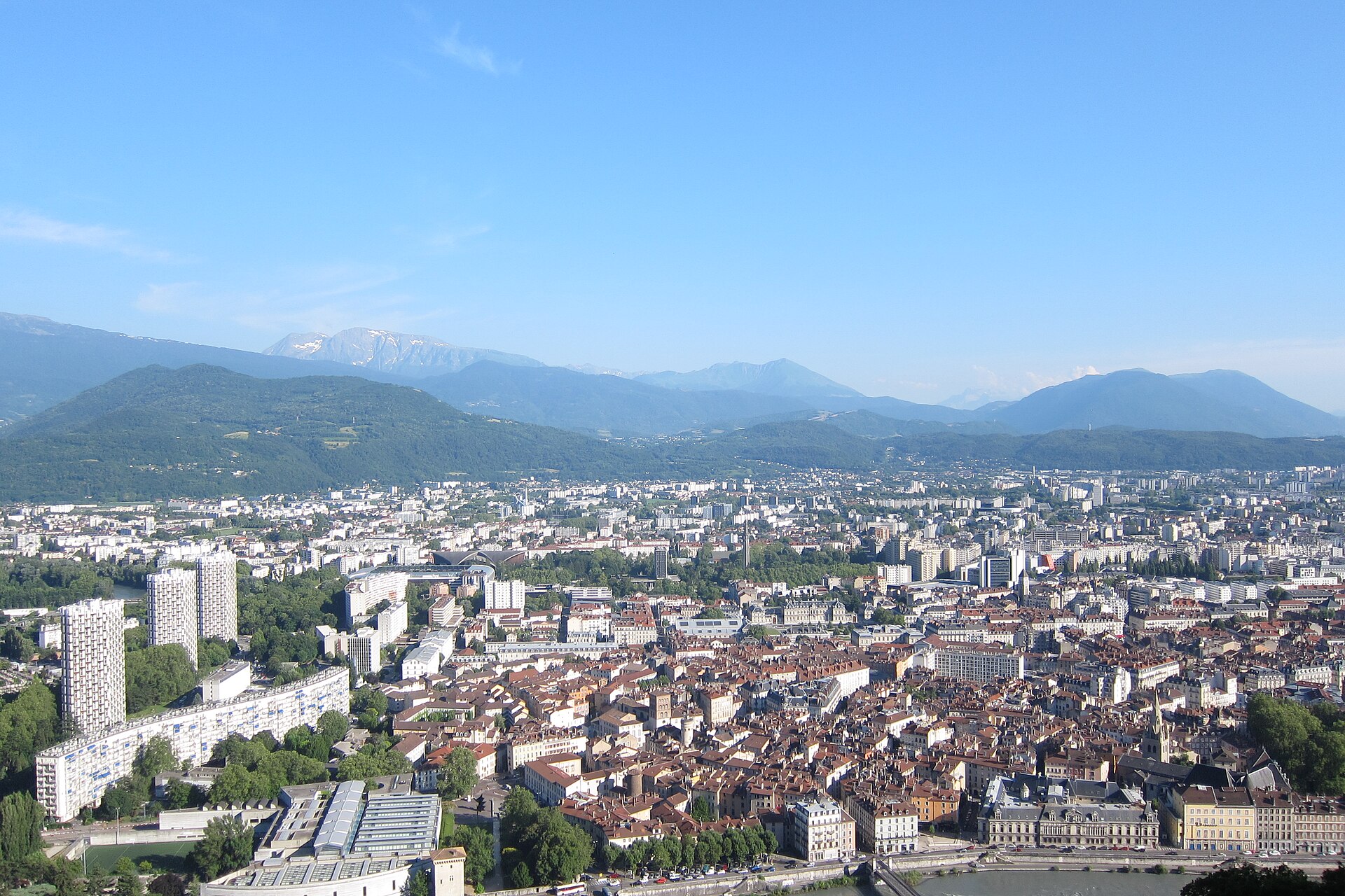
Photo: Olivier Cleynen, CC BY-SA 4.0, Wikimedia Commons
Bastille and Mont Jalla from the Isère
6.5 km · +480 m · 2h30 · Intermediate
- Distance
- 6.5 km
- Elevation gain
- +480 m
- Duration
- 2h30
- Difficulty
- Intermediate
- Terrain
- Stone steps, forest switchbacks and plateau tracks
- Best season
- Year-round; icy in cold weeks
- Water / food
- Fountains at the Bastille in season
- Parking / access
- Streets are busy; take tram B to the start
- Starting point
- Porte de France, opposite the Jardin de Ville, Grenoble
- Last checked
- Oct 5
Check local conditions and closures before you go.
GPX with the trailhead and summit waypoints for your watch.